A blank map of the United States is a simple but powerful tool that is used in classrooms, offices, and homes for many different purposes. At first glance, it may look plain or unfinished, but that simplicity is exactly what makes it so useful. Without labels, colors, or extra details, a blank map allows people to focus on learning, planning, or creativity. Whether for education, geography practice, or data visualization, the blank map of the United States remains highly relevant today.
What Is a Blank Map of the United States?
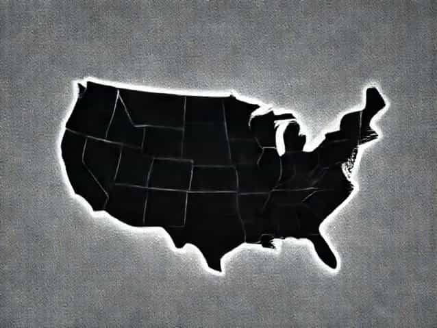
A blank map of the United States is a map that outlines the country and its states without adding names, capitals, or other identifying labels. Some versions show only the national border, while others include state boundaries, coastlines, and major rivers. The lack of text makes the map flexible and adaptable for many uses.
This type of map is often used as a learning aid, but it is also common in research, presentations, and planning projects where customization is needed.
Why Blank Maps Are Still Important
In an age of digital maps and GPS navigation, blank maps may seem old-fashioned. However, they serve a different purpose than interactive maps. Blank maps encourage active thinking instead of passive viewing. When someone fills in a blank map, they engage more deeply with geographic information.
This hands-on interaction helps improve memory, spatial awareness, and overall understanding of the United States’ layout.
Common Uses of a Blank Map of the United States
A blank map of the United States can be used in many practical and creative ways. Its versatility makes it valuable across age groups and professions.
Educational Use in Schools
Teachers frequently use blank maps to help students learn U.S. geography. By labeling states, capitals, or regions, students actively participate in the learning process.
- Practicing state names and locations
- Learning U.S. regions such as Midwest or Southwest
- Studying borders, coastlines, and relative positions
This approach helps students retain information better than simply reading a labeled map.
Geography Practice for Self-Learning
Many adults also use blank maps to test their knowledge. Filling in states from memory can be both challenging and rewarding. It is a popular method for refreshing geography skills or preparing for exams.
A blank map of the United States allows learners to identify gaps in their knowledge and focus on improvement.
Blank Maps for Data Visualization
Beyond education, blank maps play an important role in data visualization. Analysts and researchers often start with a blank map to display information such as population trends, election results, or economic data.
By adding colors, symbols, or numbers, the blank map becomes a customized visual tool that communicates complex data clearly.
Business and Research Applications
Companies and organizations use blank maps to plan logistics, analyze markets, or present regional data. Without pre-existing labels, the map can be adapted to highlight specific areas of interest.
This makes the blank map of the United States especially useful in reports and presentations.
Creative Uses of Blank Maps
Blank maps are not limited to academic or professional settings. Many people use them creatively for art, personal projects, or hobbies.
Artists may turn a blank U.S. map into a visual storytelling piece. Travelers may mark places they have visited or want to explore. The empty space invites personalization.
Different Types of Blank U.S. Maps
Not all blank maps of the United States are the same. They can vary based on detail level and intended use.
National Outline Maps
These maps show only the outer border of the United States. They are useful for basic geography lessons or broad data representation.
State Boundary Maps
Maps that include state borders are the most commonly used. They help with learning state locations, planning routes, or organizing regional information.
Regional Blank Maps
Some blank maps focus on specific regions, such as the Northeast or the West Coast. These are helpful when studying smaller areas in greater detail.
Benefits of Using a Blank Map
Using a blank map of the United States offers several benefits that labeled maps cannot always provide.
- Encourages active learning
- Improves spatial memory
- Allows full customization
- Supports creative and analytical thinking
These advantages make blank maps a long-lasting educational and professional tool.
Blank Maps and Geography Skills
Geography is not just about memorizing names. It involves understanding spatial relationships, distances, and regional patterns. Blank maps help develop these skills by forcing users to think critically about where places are located.
Over time, repeated use of blank maps can significantly improve geographic literacy.
How Blank Maps Are Used in Exams
In many educational systems, blank maps are used in tests and assessments. Students may be asked to label states, identify regions, or mark important locations.
This method evaluates not only memorization but also understanding of spatial arrangement.
Digital vs. Printed Blank Maps
Today, blank maps are available in both printed and digital formats. Printed maps are often used in classrooms and hands-on activities. Digital blank maps can be edited using software, making them ideal for presentations and online learning.
Each format has its own advantages, depending on the purpose.
Why the United States Is Often Studied with Blank Maps
The United States has 50 states with varying shapes, sizes, and locations. This complexity makes it an ideal subject for blank map exercises. Learning where each state fits helps people understand political, economic, and cultural patterns.
A blank map of the United States allows learners to grasp how geography influences history, climate, and development.
Using Blank Maps for Travel Planning
Travelers sometimes use blank maps to plan road trips or cross-country journeys. By marking routes, destinations, and stops, they create a visual plan that is easy to understand.
This approach offers a big-picture view that digital navigation tools do not always provide.
The Lasting Value of Blank Maps
Despite advances in technology, the blank map of the United States continues to be relevant. Its simplicity makes it adaptable to changing needs, from classrooms to boardrooms.
The absence of labels encourages interaction, learning, and creativity in ways that detailed maps cannot.
A blank map of the United States may appear simple, but it holds great educational and practical value. It supports learning, analysis, creativity, and planning across many fields.
By allowing users to add their own information, a blank map becomes more than just an outline. It becomes a tool for understanding geography, exploring ideas, and engaging with the United States in a meaningful way.