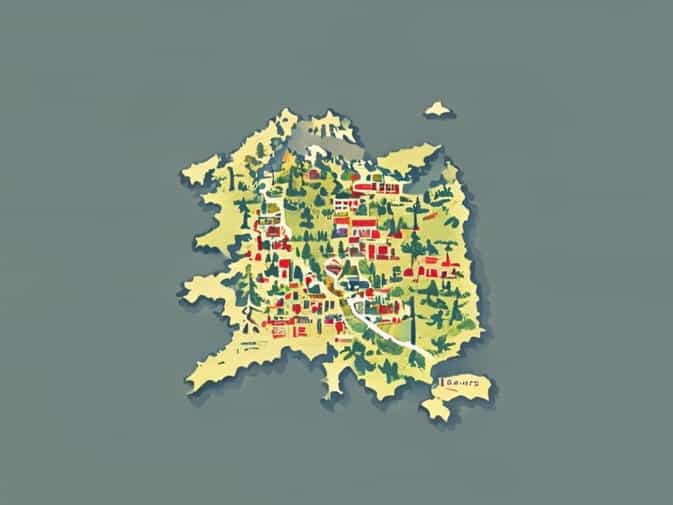
The Austrian Empire was a major political and cultural entity in Central Europe that existed from 1804 to 1867. Its vast territory, diverse population, and strategic location made it a significant player in European affairs. Understanding the map of the Austrian Empire is essential for grasping the empire’s political structure, regional diversity, and historical influence. The empire included modern-day Austria, Hungary, Czech Republic, Slovakia, and parts of Italy, Poland, Ukraine, and the Balkans. Examining the map reveals how geography, rivers, mountains, and urban centers shaped governance, trade, military strategy, and cultural exchange throughout its history.
Overview of the Austrian Empire
Formed in 1804 by Emperor Francis II, the Austrian Empire emerged during a period of European upheaval following the Napoleonic Wars. The empire was a centralized monarchy with the Habsburg dynasty at its core, but it governed a wide range of ethnic groups, including Germans, Hungarians, Czechs, Slovaks, Italians, Croats, Poles, and others. The complexity of its population made administrative organization challenging, but also culturally rich. The empire’s map reflects not only political boundaries but also the diversity of languages, traditions, and religions that coexisted within its territory.
Geographical Features on the Map
The map of the Austrian Empire showcases a varied landscape, including mountains, rivers, plains, and urban centers. Major geographical features influenced trade, defense, and settlement patterns
- The Alps dominate the western and southern regions, forming natural barriers and affecting military strategy.
- The Danube River flows through key cities such as Vienna, providing vital transport and trade routes.
- The Carpathian Mountains in the northeast shaped boundaries and influenced settlement patterns in present-day Slovakia and Ukraine.
- Fertile plains in Hungary supported agriculture and population growth.
- Coastal regions in the south, including parts of present-day Italy and Croatia, facilitated maritime trade.
Understanding these features helps explain why certain regions became economic or military hubs and how the empire integrated its diverse territories.
Political Divisions and Administrative Structure
The Austrian Empire was divided into several administrative regions known as crown lands or provinces. Each crown land had a degree of local governance, but ultimate authority rested with the emperor and central bureaucracy. Major administrative regions included
- Austria Proper The core German-speaking territory including Vienna, the capital and cultural center.
- Bohemia and Moravia Present-day Czech Republic, known for its industrial cities and fertile lands.
- Galicia Located in modern Poland and Ukraine, a culturally diverse area with significant Polish and Ukrainian populations.
- Hungary A large and semi-autonomous region with distinct laws and traditions.
- Dalmatia, Lombardy, and Venetia Southern and Italian territories, economically significant and culturally rich.
- Transylvania Now part of Romania, a region with diverse ethnic groups including Romanians, Hungarians, and Saxons.
Maps of the Austrian Empire highlight these regions, showing how political borders were often influenced by historical treaties, wars, and ethnic considerations.
Strategic Cities and Capitals
The Austrian Empire map also marks major cities that served as political, economic, and cultural centers. Vienna, as the imperial capital, was the hub of administration, diplomacy, and culture. Other important cities included
- Pest-Buda (later Budapest) Hungary’s political and economic center.
- Prague A key city in Bohemia with historical, industrial, and cultural significance.
- Trieste A crucial port city on the Adriatic Sea, essential for trade and naval access.
- Lemberg (Lviv) An important administrative center in Galicia.
- Milan and Venice Italian territories providing economic influence and strategic locations.
These cities formed the backbone of the empire’s administration and economic infrastructure, and their placement on the map illustrates the geographical challenges and advantages of governing such a diverse empire.
Military Significance of the Map
The Austrian Empire’s map also reveals strategic military considerations. Mountain ranges such as the Alps and Carpathians provided natural defense against invasions, while rivers like the Danube facilitated troop movements and supply lines. Border regions often contained fortresses and garrisons to protect against external threats. Understanding the empire’s geography is crucial for analyzing historical conflicts, including battles with France, Prussia, and the Ottoman Empire, as well as internal revolts in Hungary and other regions.
Economic and Trade Implications
The diverse regions shown on the map also highlight the economic complexity of the Austrian Empire. Industrial centers in Bohemia and Moravia produced textiles, machinery, and consumer goods. Agricultural regions in Hungary and Galicia supplied food and raw materials. Coastal cities like Trieste enabled trade with the Mediterranean and beyond. Rivers served as commercial highways, connecting inland areas to ports and facilitating internal trade. The empire’s geographic spread allowed it to integrate different resources, but it also required careful administration and infrastructure development to maintain economic cohesion.
Cultural and Ethnic Diversity
The Austrian Empire was home to multiple ethnic groups, languages, and religions, which are reflected in its map. Germans, Hungarians, Czechs, Poles, Italians, Croats, and others lived within its borders, each contributing to the cultural mosaic. Maps often include linguistic and ethnic markers, demonstrating how diversity influenced governance, education, and social policies. This cultural complexity made the empire vibrant but also created challenges in terms of national identity and political unity, ultimately influencing events leading up to its transformation into the Austro-Hungarian Empire in 1867.
Historical Changes in the Empire’s Borders
The Austrian Empire’s borders shifted frequently due to wars, treaties, and political reorganizations. The Napoleonic Wars, the Congress of Vienna in 1815, and the Revolutions of 1848 all had significant effects on the map. Territories were gained or lost, administrative divisions were altered, and ethnic populations sometimes moved or were reassigned to different regions. Studying these historical changes on the map helps illustrate the empire’s evolution, internal challenges, and interactions with neighboring powers such as Prussia, Russia, and the Ottoman Empire.
Using the Map for Modern Understanding
Examining a map of the Austrian Empire today offers valuable insights into Central European history and geography. It helps students, historians, and enthusiasts understand the empire’s structure, diversity, and influence on modern nation-states. Many current countries Austria, Hungary, Czech Republic, Slovakia, Croatia, and parts of Italy, Poland, and Ukraine were once part of the empire. Maps allow for visualization of how historical borders and regions correspond to contemporary political boundaries, as well as the legacy of Habsburg governance and cultural integration.
The map of the Austrian Empire provides a comprehensive overview of a complex and historically significant political entity. By examining its geographical features, administrative divisions, strategic cities, and cultural diversity, one can better understand the empire’s challenges and achievements. Its extensive borders, multiple ethnic groups, and economic regions highlight both the strengths and difficulties of managing such a vast territory. Maps are essential tools for visualizing the empire’s structure, understanding historical events, and connecting past political boundaries to present-day countries. Studying the Austrian Empire’s map enriches our knowledge of European history and the legacy of one of the continent’s most influential empires.